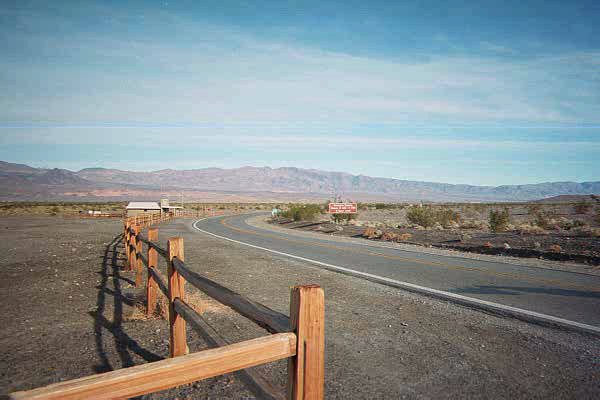
 Stove Pipe Entrance to Death Valley National Park
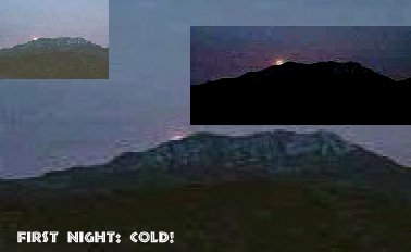 The first few moments of a long freezing night in Mesquite Springs. Everyone took pictures of the moonrise over the Grapevine Mountains.
 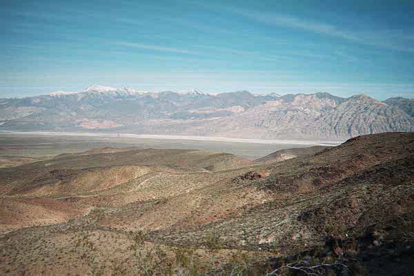 Panamint Valley, approach from the South outside of Pass just beyond Ridgecrest
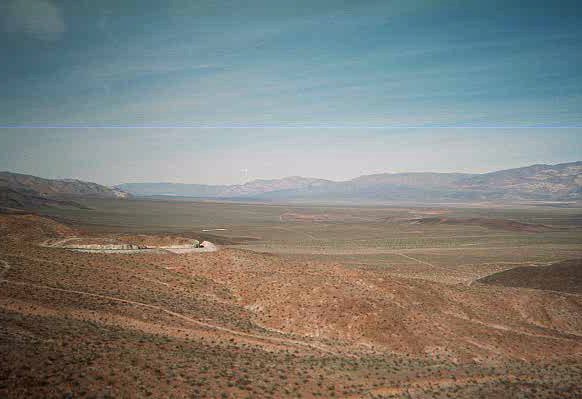
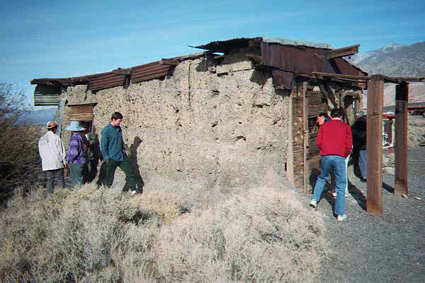
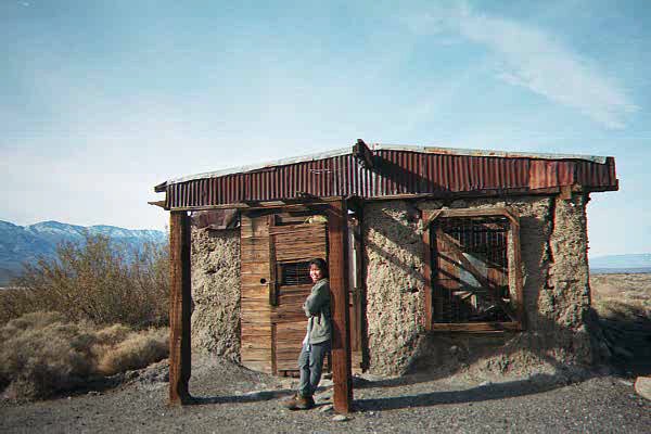 Ballarat, Panamint Valley.
1897 marked the year Ballarat came into being. The main mine was the Radcliffe which produced 15,000 tons of gold ore from 1898-1903. The town was named after an Australian gold camp and was home to 400 people in 1898. Several Death Valley legendary figures lived there. Ballarat is privately owned and the site of several adobe ruins. It is located off the Panamint Valley road west of Death Valley.
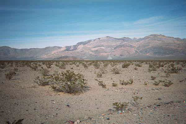 Leaving Panamint Valley, approaching Emigrant Pass. Some small frontal vertical faults on the Panamint Mountains displacing paleozoic miogeoclinal formations that are capped by basaltic rock.