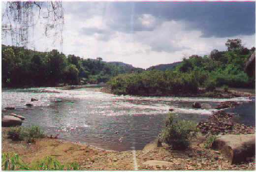
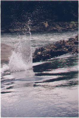
 Suoi Tien is one
of the many rivers in Vietnam. This particular river, which meanders its course into the
Dong Nai river has a depth ranging from 0.5 metres during the dry season to 1 metre during
the rainy season. Its source is in the highlands North of Vietnam and it flows at an
average of 30 km/h. Its amazing how true the phrase "Seeing is believing is." We
got a very much clearer picture of the erosional and depositional features taught to us
during our Geography lessons. Enriching our minds further, we saw and learnt more about
rock varieties such as the formation of conglomerate rocks and where they could be found.
The pebbles that lined the slip-off slopes were mainly granite rocks and by the reddish colour of the river cliffs, we
could tell that it is made up of clay. The size of the pebbles were relatively large,
considering the fact that with the meanders present, the river
was most probably in its middle or lower course.
Suoi Tien is one
of the many rivers in Vietnam. This particular river, which meanders its course into the
Dong Nai river has a depth ranging from 0.5 metres during the dry season to 1 metre during
the rainy season. Its source is in the highlands North of Vietnam and it flows at an
average of 30 km/h. Its amazing how true the phrase "Seeing is believing is." We
got a very much clearer picture of the erosional and depositional features taught to us
during our Geography lessons. Enriching our minds further, we saw and learnt more about
rock varieties such as the formation of conglomerate rocks and where they could be found.
The pebbles that lined the slip-off slopes were mainly granite rocks and by the reddish colour of the river cliffs, we
could tell that it is made up of clay. The size of the pebbles were relatively large,
considering the fact that with the meanders present, the river
was most probably in its middle or lower course.
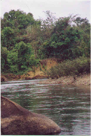
Photo of concave and convex bank
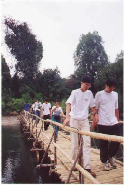
This bridge across the river is submerged during the
wet
season
Back Forward
copyright�1999Beyond Our
Shores, All rights reserved.