|
South Dakota facts:
Population: approx. 700,000
area: 77,000 square miles...about
200 miles north and south...about 400 miles east and west
Landmarks:
Missouri River...splits the state in 2 parts
known locally as East River and West River.
|
Black
Hills
|
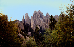
This is a view of the Cathedral Spires as you
see them on the hike up to Harney Peak. Harney Peak is the highest point going
west from the Alps to the Rockies. It is is one of a triad of fire ranger stations
(now abandoned) sitting atop of the highst peaks. When you get to the top of Harney,
you climb some old steps and and enter the old fire observatory. You can see beyond
the Badlands which are 60 miles away. You can climb out of the building onto a wide,
flat, sloping rock. Sometimes you can see mountain goats grazing on the far
side of the rock. The hike is only about 3 miles from the trail head at Silvan Lake. |
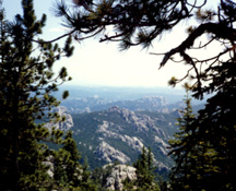
This is another view from the hike up to
Harney Peak.
|
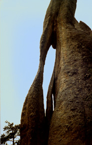
Not far from the Harney Peak trailhead at Silvan Lake, is the Needles
Highway. Along this highway, which winds with hairpin curves and tunnels through
mountains, are the famous Needles. |
Photos by Deb Ranner
Badlands |
|
|
|
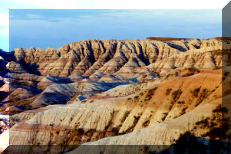
The South Dakota Badlands are
made of a gravely clay (when dry). There really isn't much rock, but still the
formations are spectacular. There are lots fo fun trails to hike. Much
of the Badlands type land, is on the Pine Ridge Reservation. Click on any of the Badland's
photo to go to my Badland's page.
|
Photos by Deb Ranner
|
Falls of the Sioux River (i.e. Sioux
Falls)
|
|
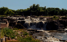
The Falls, 1998
|
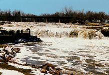
The
Falls, April 1996
Incredible amounts of snow melt off,
brought the Big Sioux River to flood stage in 1996. |
|
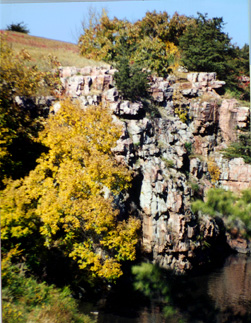
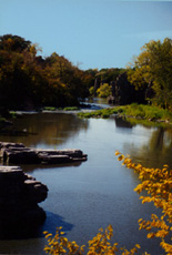
Palisades
and nearby Devils Gulch
Split Rock Creek (which
is nearly the width of the Big Sioux River, though that is not saying much) meanders
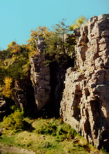
through the rolling farmland. When it gets around Garretson, SD, it moves through
magnificent red, pipestone granite. Palisades state park is a great place for rock
climbers and people who just like to climb around on rocks (there is a difference).
Little "shelves" on the rocks, let you find out of the way places to sit above
the water. And on a sunny spring afternoon, there is nothing like a good book, and
outdoor solitude on sun-warmed rock. |
|
|
|
|
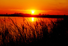
A Praire
Slough
|


